

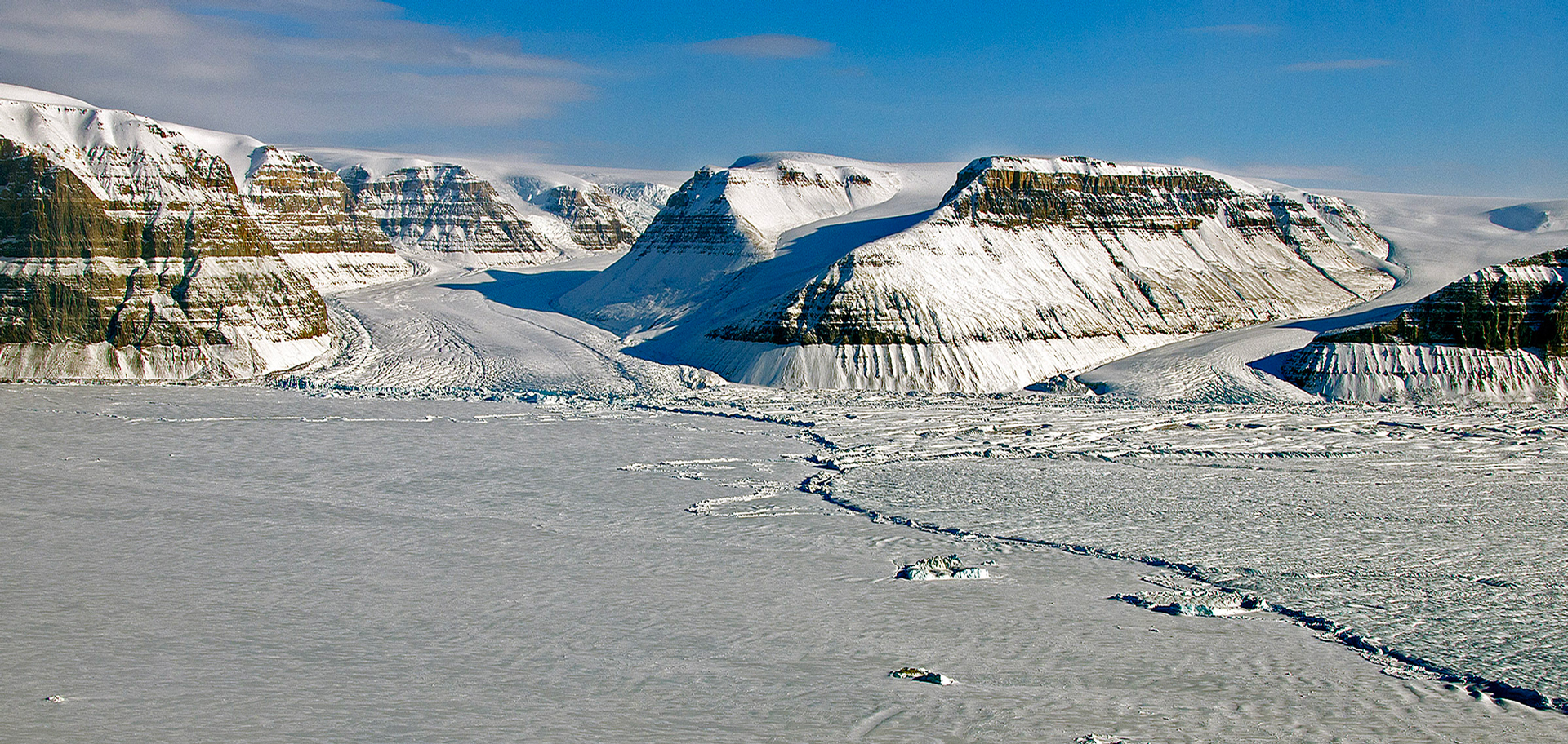
In July 2012, an iceberg twice the size of Manhattan broke off of Greenland’s Petermann Glacier and floated away in the ocean. The line where the iceberg separated became the glacier’s new front edge, moving it several miles upstream, as shown in this image taken in 2013. In August 2026, an additional 29-square-mile section also snapped off. ©NASA/Michael Studinger, flickr
On August 4, 2026, a Manhattan-sized ice island broke away from Greenland’s Petermann Glacier after years of progressing fractures had weakened its floating ice tongue. This Arctic iceberg will now be tracked as it drifts, breaks apart and potentially affects shipping routes. Soon, two more, huge sections could detach, potentially removing about 22% of what remains.
There have been signs that something else peculiar is afoot in Greenland. Back in 2025, it was reported that following two months of record heat and precipitation in fall 2022, an estimated 7,500 lakes in west Greenland turned brown, began emitting carbon and decreased in water quality in less than a year. The spike in temperatures caused precipitation to fall as rain instead of snow and permafrost to thaw, releasing an abundance of carbon, iron, magnesium and other elements that the rain washed into the lakes. Researchers found a decrease in phytoplankton—which absorb carbon dioxide from the atmosphere through photosynthesis—in the lakes, and an increase in plankton that break down and release carbon. So, instead of sequestering carbon dioxide in the summer, the lakes had become a source of it, with a 350% increase in their emissions of this greenhouse gas.
And there’s a third unusual thing happening on Earth’s largest island. Scientists drilling deep beneath Greenland’s ice have uncovered a startling clue about its past—and future. Evidence shows that the Prudhoe Dome, a major high point of the ice sheet, completely melted about 7,000 years ago during a relatively mild, natural warming period. That means this supposedly stable ice cap is far more fragile than once thought, raising concerns that today’s human-driven warming could trigger a similar or even faster ice loss.
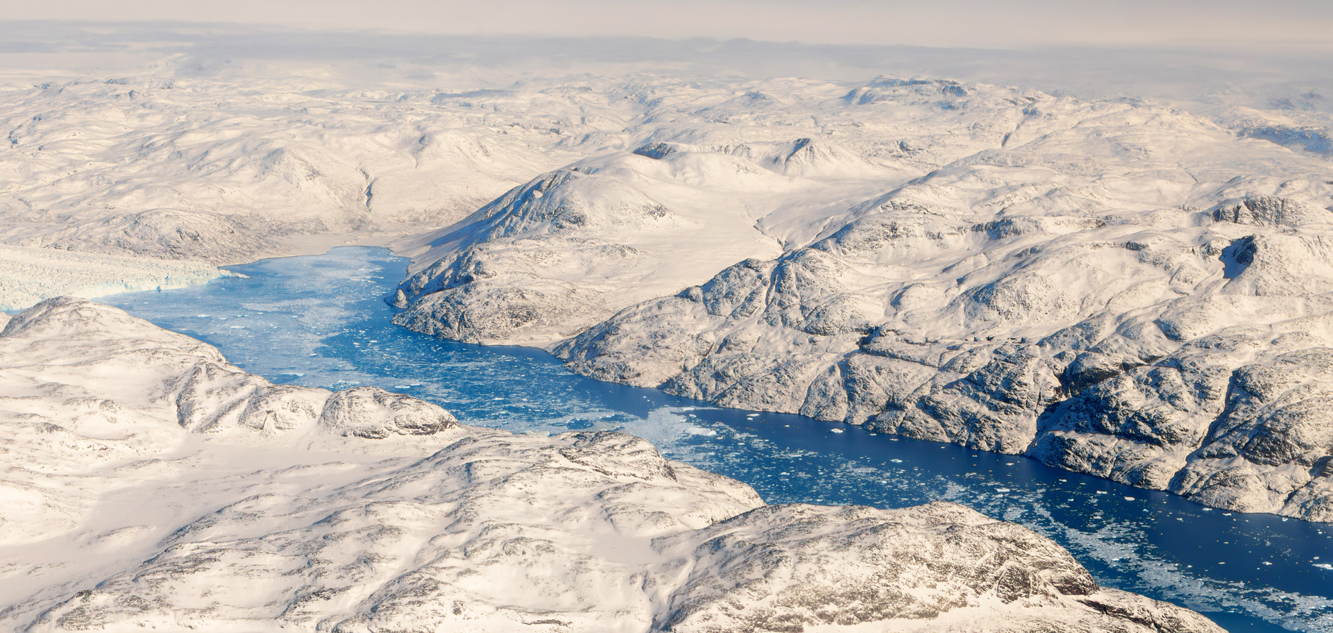
Attached to the northwestern corner of the Greenland Ice Sheet (shown here) is the icy Prudhoe Dome. It completely melted about 7,000 years ago during a relatively mild, natural warming period, showing that the ice cap is far more fragile than once believed. Today’s human-caused climate change could trigger a similar or even faster ice loss.
Past tipping point: west Greenland lakes turned brown
West Greenland is home to tens of thousands of blue lakes that provide residents with clean drinking water and that sequester carbon dioxide from the atmosphere. Yet after two months of record heat and precipitation in fall 2022, an estimated 7,500 lakes turned brown, began emitting carbon and decreased in water quality.
In a paper that was published in the journal Proceedings of the National Academy of Sciences in January 2025, a team of scientists led by researchers at the University of Maine Climate Change Institute found that the combination of extreme climate events in fall 2022 caused ecological change that “pushed Arctic lakes across a tipping point.” Using extensive data that was collected through annual water sampling and remote sensors in the lakes that operate year-round, it was discovered that by July 2023, less than one year later, the biological, chemical and physical properties of these lakes were altered, a widespread transformation that typically occurs over hundreds of years.
Greenland normally experiences snow in the fall, but the spike in temperatures caused the precipitation to fall as rain instead, according to the study. The heat also caused permafrost—frozen soil that stores a significant amount of organic carbon—to thaw, releasing an abundance of carbon, iron, magnesium and other elements. As rain fell in record amounts, it washed these newly exposed metals and carbon from the soil into lakes across Greenland’s western region, turning them brown. This rapid alteration in west Greenland’s lakes contrasts with the slow, multi-decade browning experienced in lakes across the Northern Hemisphere, including those in Maine.
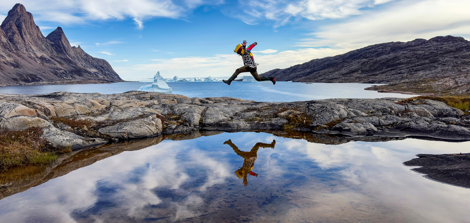
West Greenland is home to tens of thousands of blue lakes that historically sequestered carbon dioxide from the atmosphere and provided residents with clean drinking water.
In addition to altering the color of the lakes, the influx of dissolved organic carbon and nutrients from the permafrost can promote the growth of bacteria and produce not only an undesirable taste and odor in the water but chlorination by-products called trihalomethanes, which may be carcinogenic. By identifying the type and quantity of organic and inorganic materials entering the lakes following the extreme climate events, residents in the surrounding areas can better evaluate how to treat their water.
With altered chemical and physical properties, the lakes became opaquer; and less light was able to penetrate their surfaces. The reduction in light decreased the biodiversity of plankton, which had significant ramifications for the region’s carbon cycle. Researchers found a decrease in phytoplankton that absorb carbon dioxide from the atmosphere through photosynthesis, and an increase in plankton that break down and release carbon. Instead of sequestering carbon dioxide in the summer, the lakes have become a source of it, with a 350% increase in the emission of this greenhouse gas. The likely explanation, say the scientists, is that a lot of organic carbon mobilized from the landscape into the surface water, making it available for aquatic organisms. Because the lakes turned so brown, light coming into the system was reduced, which tends to favor organisms that use organic carbon pathways instead of photosynthesis.
Researchers concluded that the rise in heat and precipitation was caused by several atmospheric rivers. According to the National Oceanic and Atmospheric Administration (NOAA), an atmospheric river is a long, narrow column of water vapor that produces intense rain or snow when it makes landfall. They affect much of the world; and existing climate models predict that by the end of the century, they will become 50% to 290% more frequent in Antarctica, east Asia, western Europe, Greenland and western North America.
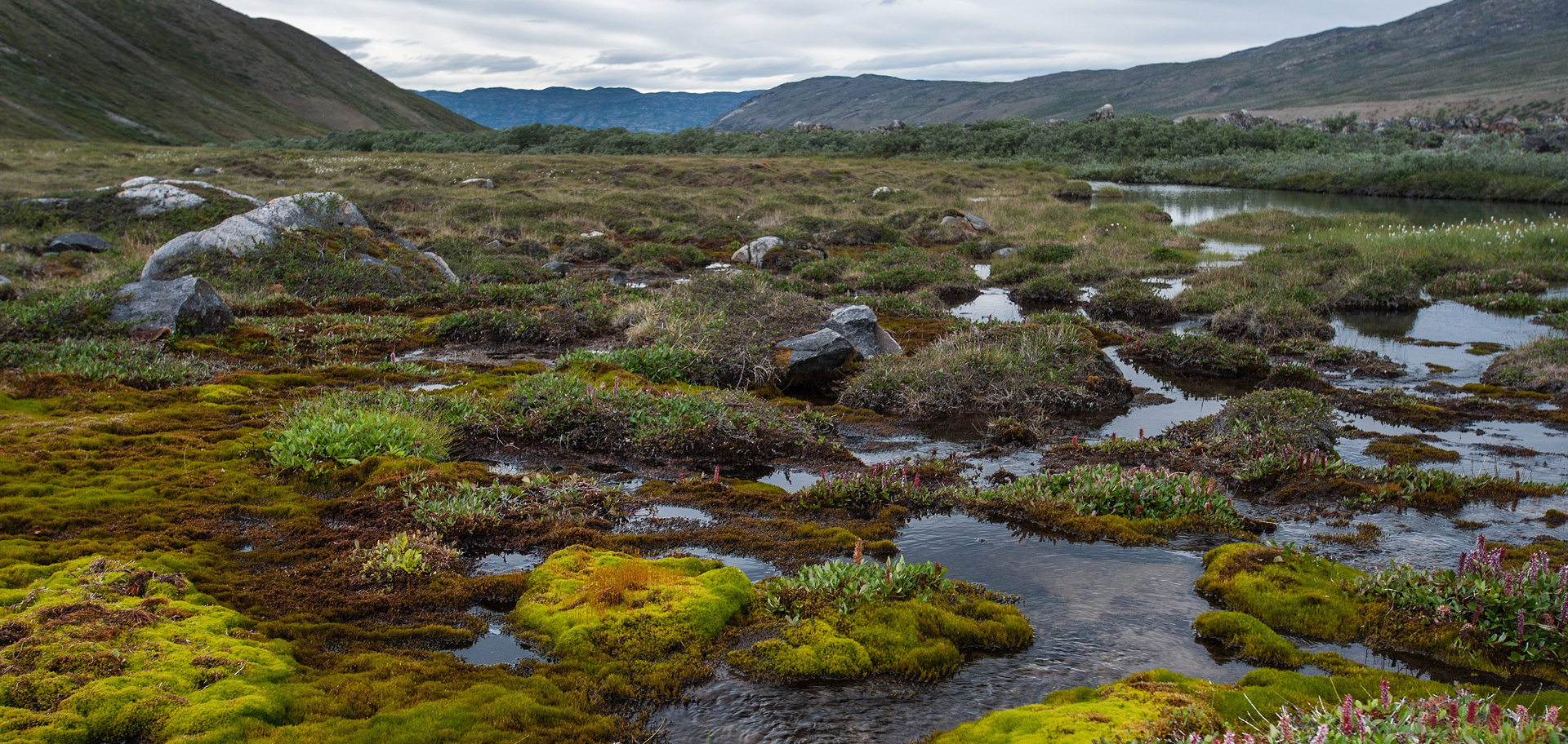
High temperatures cause precipitation to fall as rain and permafrost to thaw. That releases chemical compounds and elements like carbon, iron and magnesium from the soil. The rain then washes these newly exposed metals and carbon into lakes, turning them brown.
Additional research and monitoring could help determine whether these lakes might be able to recover, providing greater insight into lake dynamics in the region. Further studies could also help scientists examine browning lakes across the Northern Hemisphere and develop potential treatments and interventions for recovery.
Present tipping point: ice island breaks off Greenland’s Petermann Glacier
On August 4, 2026, a major calving event at the Petermann Glacier in northwest Greenland occurred. The glacier released a 29.4-square-mile ice island, its largest loss of floating ice since 2012 and the biggest Arctic calving event since 2020.
The newly separated, tabular iceberg broke away from Petermann Glacier’s floating ice tongue and may be as much as 500 feet thick. Its surface area is roughly comparable to Manhattan Island, giving scientists a rare opportunity to observe how enormous Arctic ice masses develop, move through the ocean and eventually fragment.
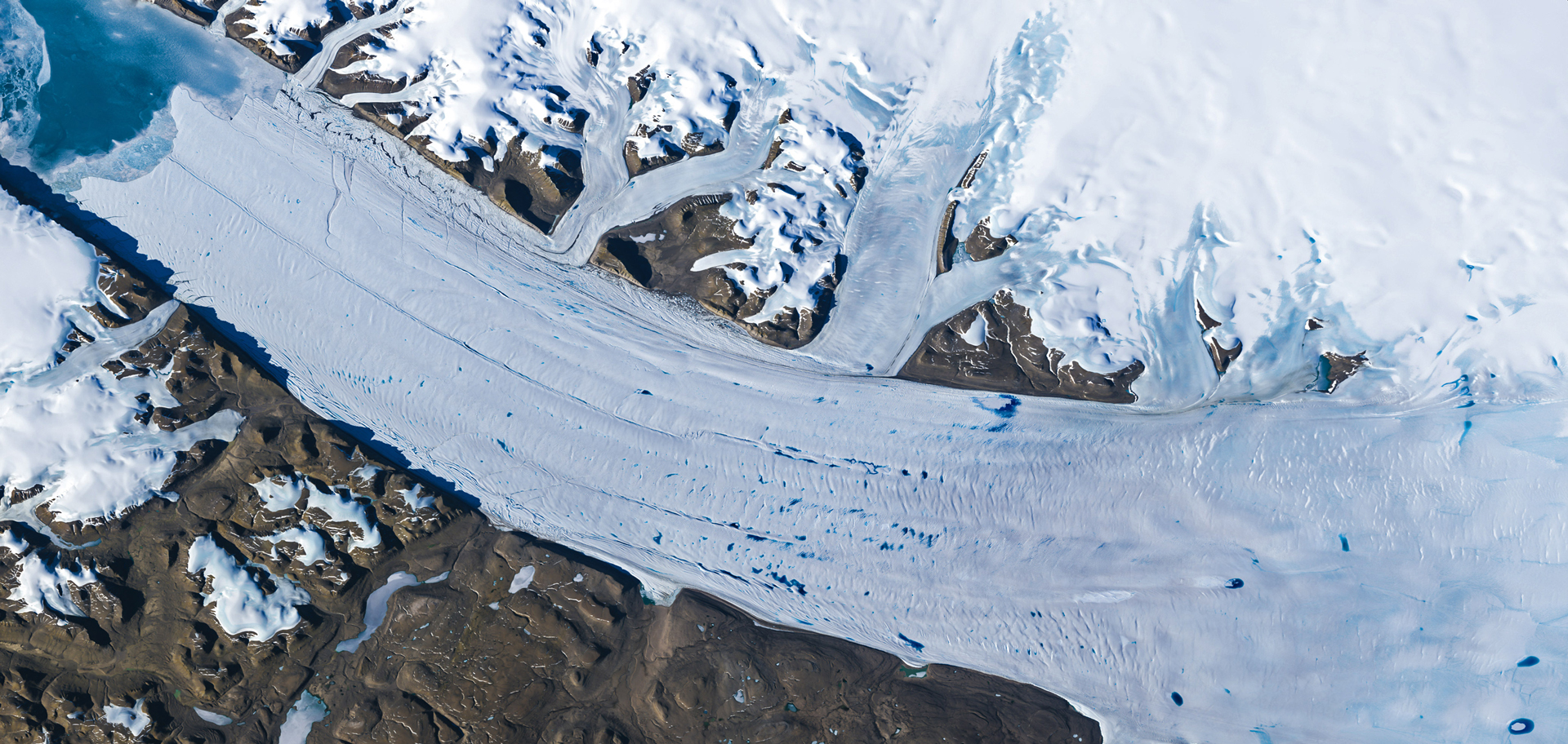
Meltwater lakes have formed on the surface of the Petermann Glacier, one of Greenland’s largest remaining ice tongues. This June 2019 Landsat (satellite imagery of Earth) photo shows that the number and elevation of meltwater lakes in Greenland is increasing.
An international team of researchers, led in part by scientists from Canada’s University of Ottawa, have been tracking changes at Petermann Glacier with long-term satellite observations since 2019. Over that period, they closely followed the condition of the glacier’s floating ice tongue, recording the expansion of fractures and watching for signs that a major section might eventually break away. On August 3, 2026, images collected by the European Space Agency’s Sentinel-1 mission showed clear signs of deterioration along the centerline of the ice tongue. By 3:00 p.m. Eastern Standard Time on August 4, the new ice island had fully separated from the glacier’s eastern side.
Large, flat-topped icebergs are relatively common in the Southern Ocean that surrounds the Antarctic Ice Sheet, but comparable ice islands are much less frequently seen in the Arctic. Their rarity and longevity make them especially valuable to researchers studying glacier retreat; changing ocean conditions; how such vast ice masses drift, evolve and eventually break apart; and the risks posed by drifting ice in polar regions.
The August calving event probably won’t be the last major change at Petermann Glacier. Two, additional, large sections of the floating ice tongue are expected to detach in the near future as rifts that have been developing for years continue to cut through the ice. Those future ice islands are projected to measure about 34 and 37 square miles. If both break away, the three calving events combined would remove approximately 98 square miles from Petermann Glacier’s ice tongue, reducing it by about 22%.
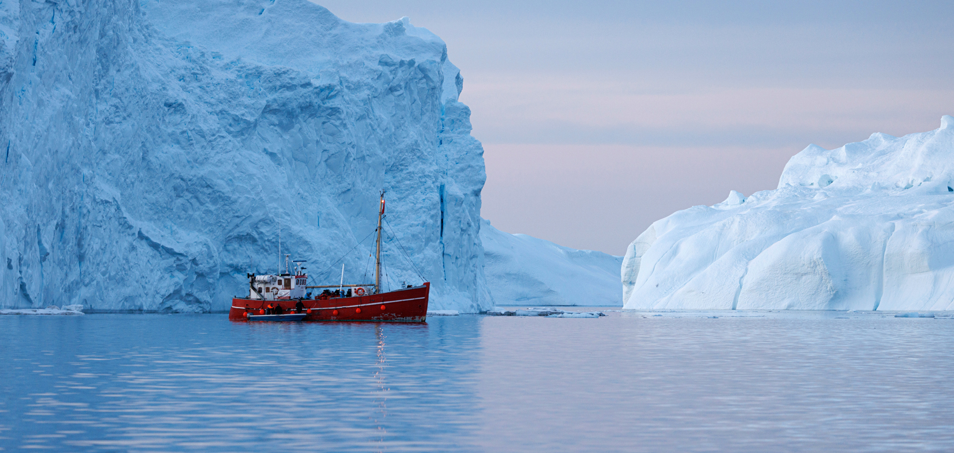
In the Arctic, ice islands have practical consequences for navigation and offshore activities. Massive sections of floating ice can remain intact for years as they drift, then gradually fracture into smaller, harder-to-track pieces that pose hazards to vessels and resource operations.
The newly formed ice island is important not only for scientific research, but also for marine safety; it has practical consequences for navigation and offshore activity in the Arctic. Massive sections of floating ice can remain intact for years as they drift, then gradually fracture into smaller, harder-to-track pieces that pose hazards to vessels and resource operations. Environment and Climate Change Canada are monitoring the ice island’s movement with satellite imagery, aerial observations and tracking data—as it has done following previous Arctic ice-shelf calving events—while evaluating potential risks to offshore infrastructures and vessels.
Future tipping point: Greenland ice melted 7,000 years ago, and it could happen again
A new study from GreenDrill—a project led by researchers from New York’s University at Buffalo and charged with recovering rocks and sediments buried beneath the Greenland Ice Sheet—has revealed that the Prudhoe Dome ice cap completely vanished about 7,000 years ago. This is far more recent than scientists had previously believed. The findings, published in the journal Nature Geoscience in January 2026, show that this elevated region in the northwest part of the ice sheet is highly sensitive to even modest warming. The melting occurred during the Holocene, the relatively stable climate period that began 11,500 years ago and continues today.
Humans first began developing farming practices in the Holocene and taking steps toward civilization. So, if natural, mild climate change of that era could melt Prudhoe Dome and keep it retreated for potentially thousands of years, it may only be a matter of time before it begins peeling back again from today’s human-induced climate change, say GreenDrill researchers.

During the Holocene, which began about 11,500 years ago, humans transitioned from nomadic hunter-gatherers into settled farmers, built the first major civilizations and profoundly altered the Earth’s environment. In this stable climate period, food surpluses allowed people to specialize in crafting trades.
Surprisingly, scientists have fewer samples of rocks and soils from beneath Greenland than from the moon, yet these materials hold critical information. Their chemical signatures reveal when the surface was last exposed to sunlight, helping pinpoint past periods when the ice sheet disappeared. For this study, researchers examined core samples taken from 1,669 feet below the surface during a weeks-long expedition at the summit of Prudhoe Dome in 2023.
To determine when the sediment was last exposed, the team used luminescence dating. This method measures energy stored in mineral grains. When buried, these grains trap electrons from natural radiation. Once exposed to light, they release that energy as a faint glow that scientists can measure. The strength of this signal showed that the sediment last saw daylight between 6,000 and 8,200 years ago.
That means that Prudhoe Dome melted sometime before this period, likely during the early Holocene, when temperatures were around 5.4 to nine degrees Fahrenheit warmer than they are today. Some projections indicate that we could reach those levels of warming at Prudhoe Dome by the year 2100. These findings carry important implications for rising sea levels. By identifying weak points along the edges of the Greenland Ice Sheet, scientists can better predict where melting may begin and which coastal regions could face the greatest risk.
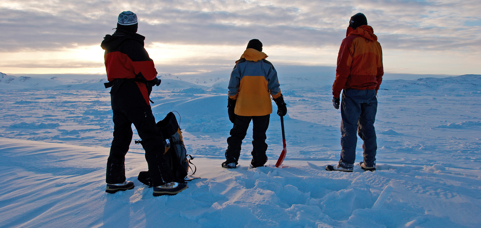
We have fewer samples of rocks and soils from beneath Greenland than from the moon. But such materials hold critical information, such as when the surface was last exposed to sunlight, helping pinpoint past periods when the ice sheet disappeared.
GreenDrill established two drilling sites on Prudhoe Dome—one at the summit and another closer to the edge, where the ice is thinner. (This study analyzed the samples collected from the summit.) The sites were located near Camp Century, a Cold-War-era base where U.S. Army researchers once drilled into the ice while attempting to conceal nuclear missiles. Instead, they recovered sediment that later helped scientists discover the ice sheet had been much smaller around 400,000 years ago.
During the spring 2023 expedition, the team lived in a network of yellow tents connected by flagged paths. Their daily work included collecting ice fragments brought up during drilling and clearing snow from the camp, while specialized drillers worked through hundreds of feet of ice. The mission nearly failed near the end when a fracture appeared at the summit drilling site. A last-minute switch to a drill bit typically used for rock allowed the team to complete the final 390 feet and reach the underlying material just before their equipment was scheduled to be removed.
Researchers say that this is only the beginning. Additional studies are planned that will use other samples, including one taken closer to the edge of Prudhoe Dome, which may reveal the ice cap’s most vulnerable areas. The cores may also contain traces of ancient plants, offering clues about Greenland’s past environment.
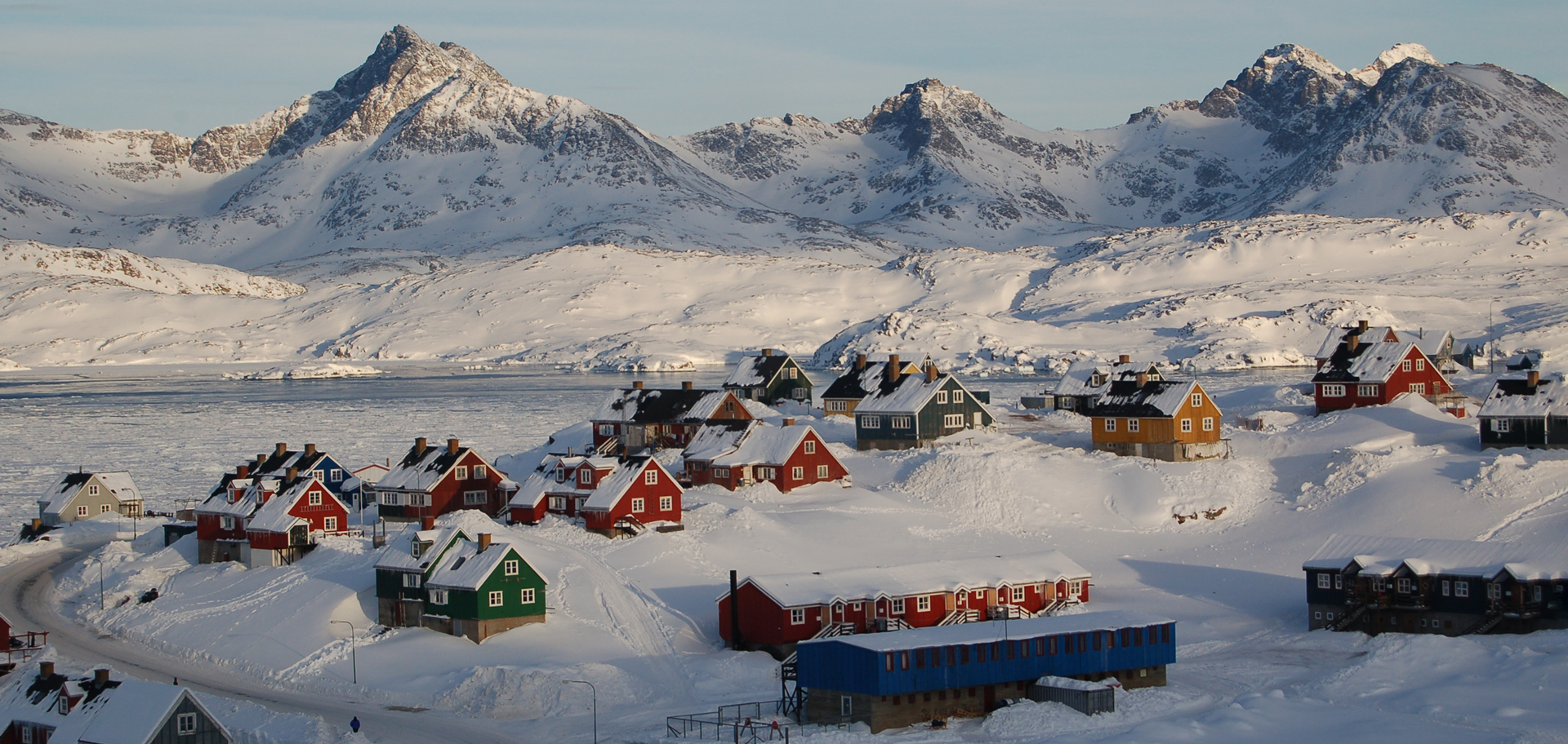
The ice in Greenland awes and humbles me. I hope some of it remains forever.
Tipping point: reaching critical mass
I have traveled to Greenland twice. The first time was in 2013, on a ship-based expedition that started on the southern end of the west coast, wrapped around the southern tip of the large island, and traveled back up the east coast. Then, I was absolutely astounded by the soaring heights of the walls of ice that the boat’s captain managed to thread our small vessel through. The statuesque icebergs were so close that I could stand on the deck and touch them as we sailed by.
The second trip happened in 2017. That journey was land-based, with a one-of-a-kind stay on the ice at a base camp, within walking distance of the great Greenland Ice Sheet. To be right under the eye of such an ancient giant was humbling, thought-provoking and reflection-inducing.
For me, in addition to the memories of the country’s friendly and welcoming people, Greenland will always be about the ice.
At least, I hope so.
Here’s to finding your true places and natural habitats,
Candy