In Washington state, crossings over highways intended to preserve biological diversity—such as this one—also greatly reduce wildlife-vehicle collisions. ©Leon Schatz and Gregory Nickerson, flickr
In the face of ever-diminishing wildlife in the sixth mass extinction and increasing political complications, it’s gratifying to know that there are still a few, straightforward conservation measures we can undertake right now to protect the wildlife that lives alongside us. Two of those things are creating more collision-reducing wildlife crossings and using better bird maps. And while these efforts will help animals, they will make our lives safer, too.
In Washington state, a study recently found that building wildlife corridors and crossings over highways intended to preserve biological diversity also reduce wildlife-vehicle collisions. An economic analysis there found that every year, there were one to three fewer collisions involving wildlife per mile in a 10-mile radius around each wildlife crossing.
And now, researchers at the University of Wisconsin-Madison have developed maps at a fine-enough resolution to help conservation managers focus their efforts where they are most likely to help birds: in individual counties or forests, rather than across whole states or regions. Protecting bird biodiversity protects our well-being: birds are voracious predators of pests in our agricultural fields, and they act as pollinators and seed dispersers for many plants valuable to us—such as trees that produce building materials, medicines, and fruits and other foods. The more bird species there are in the world, the more plant species they can help propagate and protect for our use.

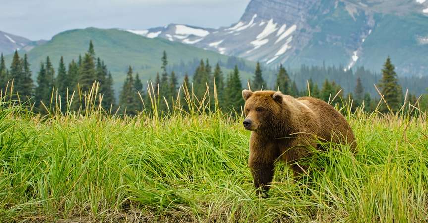
The North Cascades is one of the few eco-regions in Washington state that has a variety of large carnivores, including gray wolves, grizzly bears, lynx and wolverines. Unfortunately, an interstate bisects the mountain range, causing a major division in the habitats of many animals.
Improving wildlife passages
Wildlife crossings are designed to help animals move in search of food and to escape predators and wildfires. They’re also meant to improve road safety for humans.
Washington state currently has a total of 22 wildlife bridges and underpasses. Half of the state’s wildlife crossings are found in Kittitas County, where an interstate bisects the Cascades, a major division of habitat for many animals. A wildlife crossing can range in cost from $500,000 for a tunnel-like underpass to more than $6 million for a broad bridge, such as the one near the Snoqualmie Pass on Interstate 90.
To evaluate how effective wildlife crossings are, researchers at Washington State University recently conducted an economic analysis of such structures in the state. This study is timely; there may soon be many more wildlife crossings across the country since $350 million was allotted to help improve options for animals to traverse busy roads in the federal Infrastructure Investment and Jobs Act, signed into law in 2021.

Deer were found to be the animals most likely to be involved in vehicle collisions. On average, such accidents cost about $9,000 each. However, deer also are the animals that use overpasses the most often—when they are available. ©marneejill, flickr
For this study, the scientists analyzed collision data from the Washington State Department of Transportation from 2011 to 2020 before the pandemic changed travel patterns. Adjusting for construction time and closeness of other structures, they examined data related to 13 bridges and underpasses, comparing wildlife-vehicle collisions before and after the structures were built. For comparison, they also used an area elsewhere in the state with no such constructions.
The results of the study were published in the journal Transportation Research Record in August 2022. They showed that the most consistent, significant reductions in collisions were around overpasses. Deer are the animals most likely to be involved in vehicle collisions, which cost on average about $9,000 per accident, and camera traps showed that deer seem to use overpasses most often. Underpasses appear to be more popular with predators, such as black bears.
During the time period of the study, there were more than 1,600 wildlife-vehicle crashes every year in the state with about 10 percent resulting in human injury and even a few deaths. Decreasing these accidents would reduce unnecessary trauma and potentially save lives in addition to saving money—roughly $235,000 to $443,000 every year per structure. Most of the accidents involved “safe drivers,” those who were sober and driving without distractions, such as texting.

Not only do wildlife-vehicle collisions cause harm for both the driver and the animal, roadways that cut through animals’ natural habitats can also cut off migration routes. For more than 20 years, the solution in Canada’s Banff National Park has been wildlife crossings, several dozen bridges that help animals cross the Trans-Canada Highway.
That relates to one to three fewer collisions involving wildlife each year per mile in a 10-mile radius around each wildlife crossing in the study. Similar evidence has been found by studies in North Carolina, Utah and Wyoming.
The authors note that this study relied on official reports of wildlife-vehicle collisions, which are only required when damage is $1,000 or more. Future research might look at insurance claims, which would reveal more data and potentially show greater benefits from these structures.
Refining bird maps
In North America, 3 billion birds have been lost since 1970. This is across all habitat types. Unfortunately, many resources previously available to conservation managers, such as species range maps, are both on too broad of a scale to be useful and not rigorously tested for accuracy. Therefore, there seems to be a disconnect between what scientists produce for conservation efforts and how that translates to boots-on-the-ground management.

Piping plovers lay their eggs on open, pebbly beaches, making them vulnerable to predators and habitat loss. Over the years, encroaching human development has reduced the number of nesting sites and contributed to the species’ decline. The piping plover is federally listed as endangered in the Great Lakes region and near threatened in the remainder of its U.S. breeding range.
To overcome such challenges, a research team at the University of Wisconsin–Madison decided to improve the predictive power of their data-driven maps of existing bird biodiversity. They began by extrapolating observations of birds from scientific surveys to mile-by-mile predictions of where different species truly live. Those predictions were based on factors including rainfall, the degree of forest cover and the extent of human influence on the environment, such as the presence of cities or farms.
The scientists then clustered individual species by behavior, diet, habitat or conservation status—such as fruit-eaters or forest-dwellers. These groups were called “guilds.” Many conservation decisions happen at the guild level, rather than at the level of species. Guilds can also make up for limited information on the most endangered species.
The final maps, which were published on April 11, 2022, in the journal Ecological Applications, cover 19 different guilds at resolutions of 0.3, 1.5 and three miles. While the finest-grained maps were not as accurate, the 1.5-mile-resolution maps provided a good balance of accuracy and usefulness for realistic conservation needs, say the scientists. At the three-mile resolution, the maps offered the greatest accuracy and will be helpful to conservationists operating across large areas.

Guinea fowl belong to the ground-nesting “guild.” They like to hide their nests among fallen branches and tall grasses. Many conservation decisions happen at the guild level, rather than at the species level.
The maps span the contiguous U.S. and predict the diversity of birds that live in each area, related by traits such as being endangered or nesting on the ground. The predictions are based on both detailed observations of birds and environmental factors that affect bird ranges, such as the degree of forest cover or temperature in an area.
The UW-Madison researchers hope that with these maps, managers will have access to a tool that they didn’t have before that allows them to get a broad perspective, as well as information at the level of detail that’s necessary for their action plans. For example, such information would be applicable for U.S. Forest Service management action plans. USFS staff could pull up these maps for a group of interest and get a very clear indication of where the areas are where they might want to limit human use. The maps may also help private land conservancies decide where to prioritize limited resources to maximize biodiversity protections.
Now, the scientists are working to extend the analysis down to individual species, rather than guilds made up of multiple species. The increased level of detail could help specialist conservation managers improve their work, especially those aiming to protect a single species.

Wild pheasants are examples of wildlife that today live alongside us. The birds inhabit our agricultural areas and communities, where there is a mixture of grain crops, grasslands and brushy fence lines. ©Martyn-Fletcher, flickr
Enriching the connections between places
Wildlife crossings—whether they are canopy bridges (especially for monkeys and squirrels), culverts (for small mammals, such as badgers, hedgehogs and otters), fish ladders, green bridges (mainly for large or herd-type animals), green roofs (for birds and butterflies), overpasses, underpass tunnels or viaducts—aid conservation, combating habitat fragmentation, and allowing for connections and reconnections between habitats. They also assist in avoiding collisions between animals and vehicles, which in addition to killing or injuring wildlife may cause injury to humans and property damage.
Detailed maps, too, are travel assets, depicting the amount of space, the kind of terrain, and the time between places; in other words, all of the facets that create connections between niches.
Both wildlife crossings and bird maps are implements of travel, keeping all of us—wild or not—journeying across the planet together in peace.
Here’s to finding your true places and natural habitats,
Candy
