
Google’s Street View camera captures some striking coastal imagery on Isabela Island in the Galapagos. © Charles Darwin Foundation
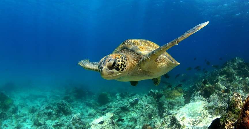
If you can’t make it down to the Galapagos Islands anytime soon, Google Map’s Galapagos Street View is a cost effective way to get a sense of what it’s like to walk amongst nesting boobies and snorkel with playful sea lions. You can also take a virtual tour of the Charles Darwin Research Station, descend into the Sierra Negra Volcano, and watch frigate birds glide over head.
Last year a team from Google Maps visited the archipelago and gathered a lot of great footage from different islands, both on land and below the water’s surface. You can check out a video about the project, which will help scientists and researchers study the islands, below.


