
Technology Transforms Wildlife Tracking

Wildlife tracking has opened our eyes to many fundamental questions in the fields of conservation and ecology. While historically animals have been followed as a means to understand their large-scale movements, such as migrations, there is now a greater focus on learning about movements on the smaller scale, such as individual variations in location shifts or how they shape social networks. This change in outlook comes with different tracking needs, including the ability to track larger numbers of individuals.
Luckily, there’s exciting news on this front. Our mobile phones could be the key to a cheaper and more reliable way of tracking animals for conservation efforts and ecology initiatives. And a new, learning framework for autonomous drones promises to find elusive sperm whales and predict where they will surface, helping to protect them.
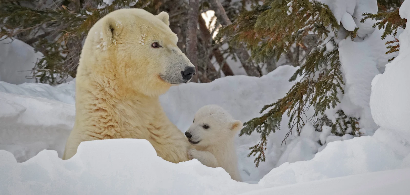
Polar bear monitoring, too, is receiving a makeover: researchers are combining satellite-collar data with specialized cameras to shed light on one of the most mysterious and important stages in polar bears’ lives: maternal denning, when bears give birth and then emerge with their cubs.

Bluetooth technology unlocks urban animal secrets
Traditional animal-tracking methods are often expensive and require the tagged animals to be close to the tracking technology. But now, researchers from The Australian National University (ANU) have developed a cheap, lightweight, Bluetooth low-energy (BLE) beacon, opens in new tab that can provide regular updates on animal locations through the network of mobile phones and smartwatches that people carry with them every day.
BLE beacons are small chips that can easily be fitted to a wide range of taxa, for example by being glued onto the back of birds or worn by animals with the use of a simple harness. BLE beacons emit their unique identifiers at a preset rate (for example, every two seconds). As people walk near tagged birds, mammals or reptiles, they pick up the signal; and their phones upload the data to the cloud. This all happens automatically with no information collected about the phones themselves—only the identity and location of the tag. According to the ANU researchers, these simple and inexpensive beacons can provide regular position updates in areas with medium to high densities of people, with a battery life of one to two years.
Until now, animal-tracking studies have faced technological limitations, such as high costs or the need for tags to remain near detectors. But piggybacking off the global network of personal mobile phones and using Bluetooth beacons as a gateway for tracking urban animals and studying their movements, home ranges and social networks overcomes these limitations.

The researchers say that there’s a lot that we still have to learn about how animals adapt to and survive in urban habitats. The ability to cheaply and reliably track them with the lightweight tags the ANU team has developed will help unlock many secrets of city wildlife.
Autonomous robots reveal whale vocalizations
How do animals communicate? I think it’s fair to say that all of us who are enamored of wildlife have wondered that at some time or another. Now, a Cetacean Translation Initiative, opens in new tab (CETI) research team has proposed using autonomous drones to find sperm whales, opens in new tab and predict where they will surface.
Although sperm whales are found in deep ocean waters all over the world, their distribution and migration patterns are not as well understood as those of some other whale species. They tend to avoid areas with high human activity and can be difficult to spot due to their deep-diving habits, often below 3,000 feet. While they do surface to breathe, they don’t always display the behaviors that are easily visible from boats or the shore.
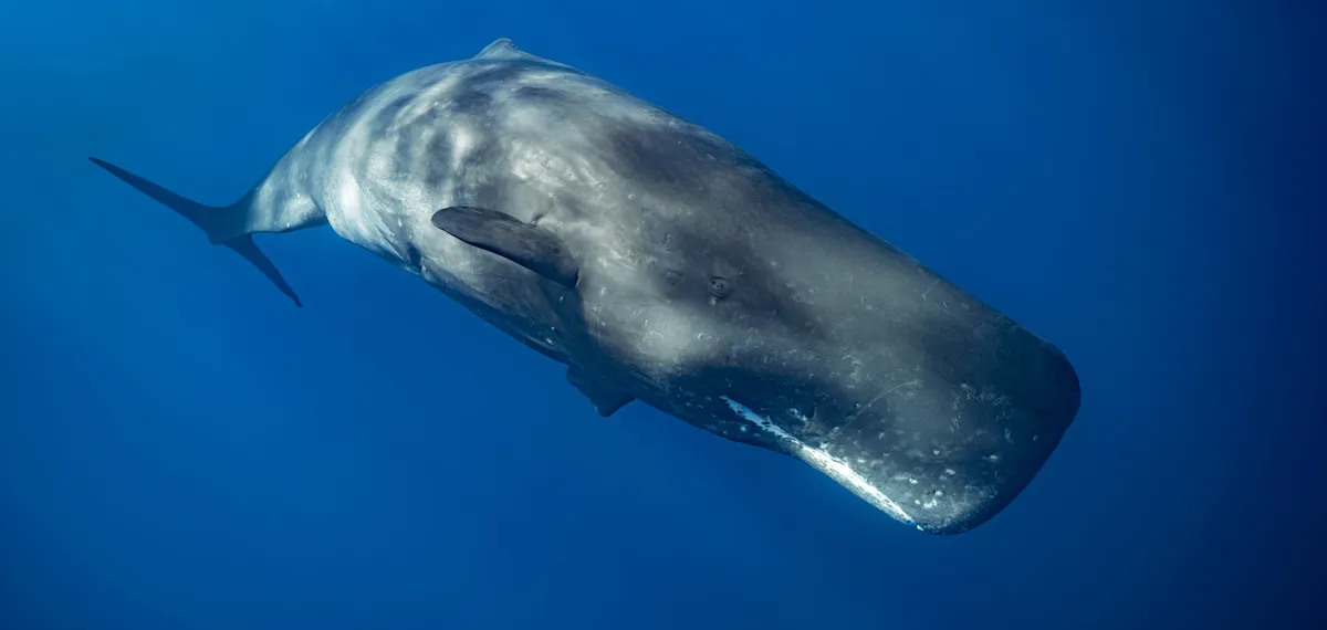
A goal of Project CETI is to collect millions to billions of high-quality, highly contextualized vocalizations in order to understand how sperm whales communicate. But finding the whales and knowing where they will surface to capture that data is challenging—making it difficult to attach listening devices and collect visual information.
This new study, outlined in the journal Science Robotics, opens in new tab in October 2024, uses various sensing devices, such as Project CETI aerial drones with very high frequency (VHF) signal-sensing capabilities that leverage signal phases along with the drone’s motion to emulate an “antenna array in air” for estimating directionality of received pings from CETI’s on-whale tags. The work demonstrates that it’s possible to determine when and where a whale will surface by using the various sensor data with predictive models of sperm whales’ diving behaviors. With that information, Project CETI can now design algorithms for the most efficient route for a drone to rendezvous—or encounter—a whale at the surface. This also opens up possible conservation applications to help ships avoid striking whales.
A well-known application of time-critical rendezvous data such as this is used with rideshare apps, which use real-time sensing to note the dynamic paths and positions of drivers and potential riders. When a person requests a ride, it can assign a driver to meet up with the rider as efficiently and as timely as possible. Project CETI’s case is similar in that it tracks whales in real time, with the goal of coordinating the drone’s arrival with the moment when the whale appears at the surface.
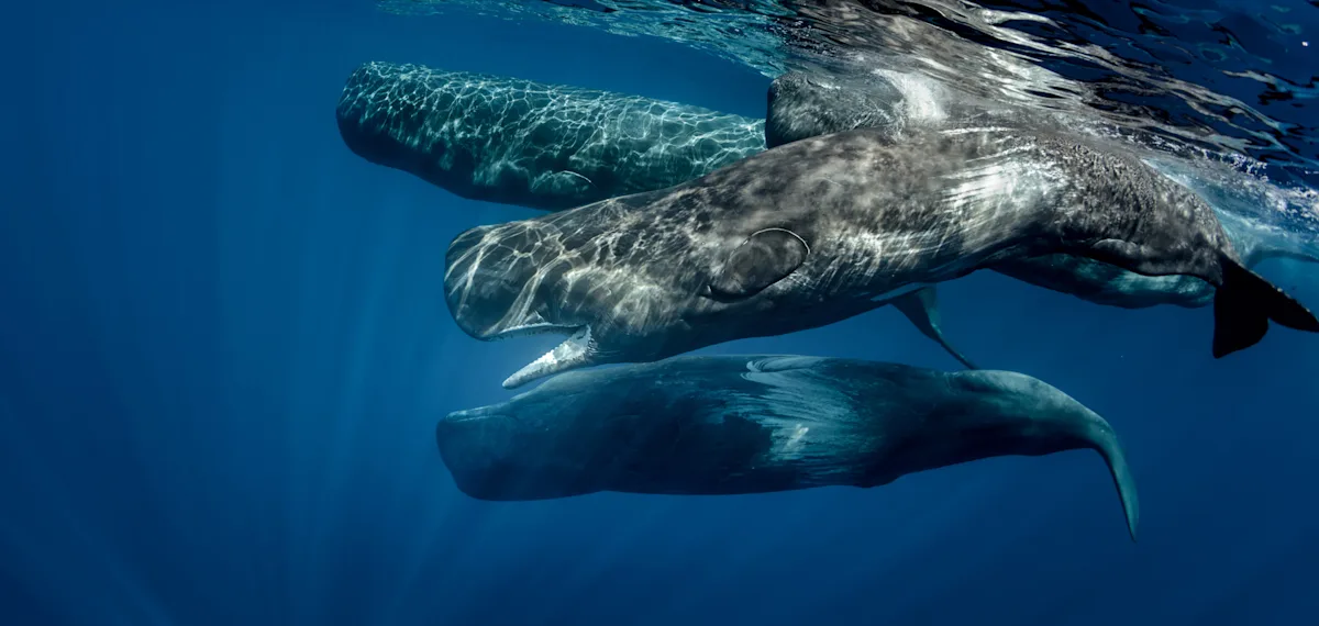
The researchers conclude that this interdisciplinary work, which combines wireless sensing, artificial intelligence and marine biology, is a prime example of how robotics can be part of the solution for further deciphering the social behavior of sperm whales in their natural habitats and ultimately help protect those environments and the health of sperm whales.
Cameras and collars in cooperation uncover polar bear puzzles
The Arctic is warming two to four times faster than the rest of the world, and humans are increasingly moving into polar bear, opens in new tab denning areas at a time when the animals are particularly sensitive to disturbances. Healthy cubs are needed to sustain polar bear populations, so scientists are trying to develop better tools to monitor and understand their behaviors so we can better protect them.
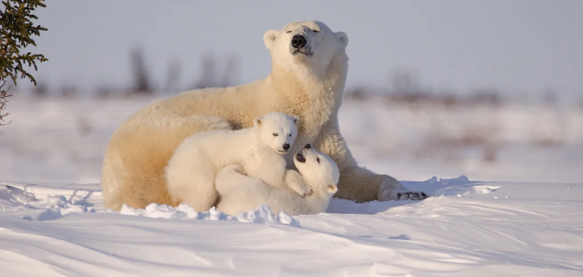
Denning begins with pregnant polar bears sealing themselves inside dugouts under the snow, where they give birth. Cubs are born remarkably small—weighing about one pound and measuring approximately 12 inches long—and the den protects them from the frigid weather as they grow 20 times their size in just a few months of nursing. Though the mother loses about half her body weight, after breaking out of the snow she doesn’t immediately return to hunting. She and the cubs hang around the den for a few weeks, popping in and out and doing something presumably more important than eating.
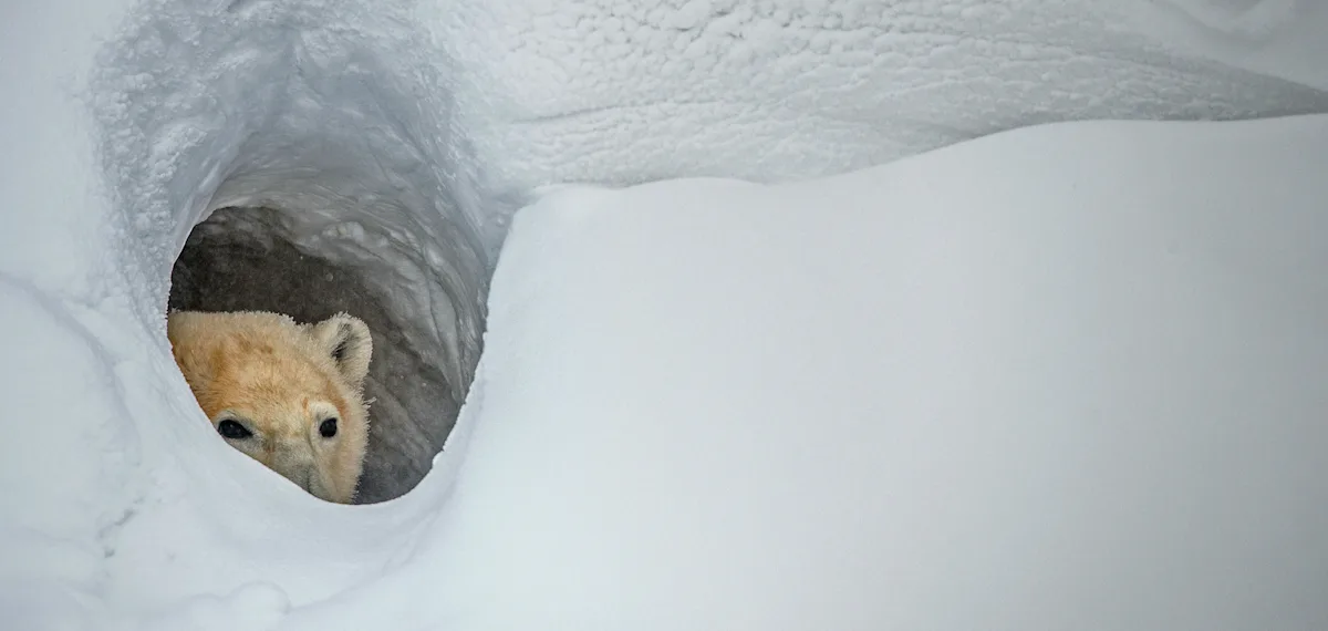
Past research has shown that how long polar bear mothers remain at their dens impacts her cubs’ odds of survival. Yet why they stick around for so long and what they’re doing remains poorly understood. The tracking devices researchers typically use on polar bears aren’t tested against real-life observations—that is, until now.
Historically, researchers studied denning with binoculars, then remote cameras, and now primarily with satellite collars that can track location, activity and ambient temperature. While collars can monitor the broad movements of polar bears over several years, most collars only gather data every few hours, and they’re not ideal for observing more minute behaviors or short trips outside the den.
A new study, published in The Journal of Wildlife Management, opens in new tab in February 2025, however, describes how researchers from Canada’s University of Toronto Scarborough collected data from satellite collars on 13 members of the Barents Sea subpopulation of polar bears over six years. The scientists also located and installed cameras outside nine dens in Svalbard, Norway. They found that estimates of when polar bears had hit key stages in denning sometimes differed by several days to more than a week, depending on whether they looked solely at data from the collars or the cameras.
Each time they gathered collar data, they matched it with the exact image on the camera to confirm what the bears were doing. They then made three statistical models, which other researchers can plug collar data into to accurately predict not just what the bears are doing, but what they will likely do. The models can predict when the bears will first break out, the times they’ll emerge from the den and when they’ll finally leave. One model can also predict how external factors, such as temperature, influence the behavior of moms and cubs.
Bears emerged from their dens almost always in the daytime, on trips that averaged about 27 minutes (ranging from less than a minute to almost eight hours). About half of the time, mothers had their cubs in tow, most often staying within 130 feet of the den. Bears were more likely to be seen outside the den with each degree the temperature warmed and with each day that passed since they’d first broken out. Warmer temperatures meant they were more likely to be seen outside the den, and they stayed outside longer the higher the temperature and the longer since they’d first broken out.
These findings, say the scientists, suggest that the purpose of these weeks spent around the den are mainly for cubs to acclimatize to the outside world; and they support other research that found that a faster departure after breakout means cubs are less likely to survive.
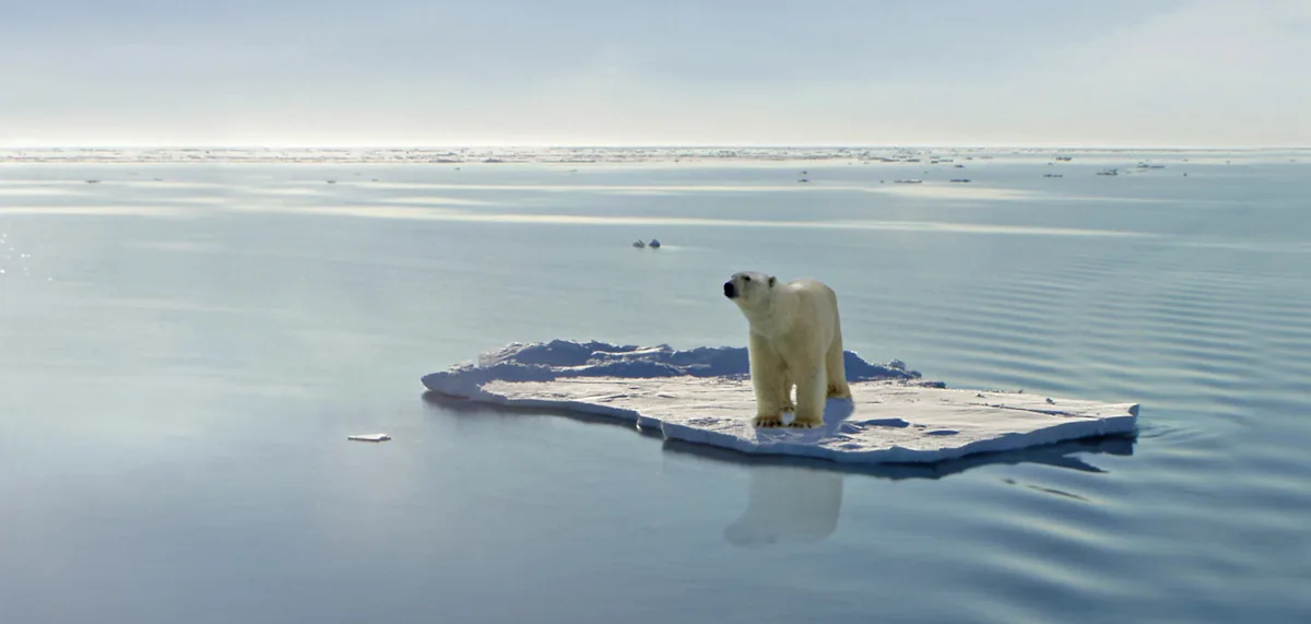
In the fast-changing Arctic, a lot of sea ice is being lost., opens in new tab So, being able to see what polar bears are doing and how they’re responding to these challenges will give us insights into what we might expect in other parts of the Arctic down the line.
New monitoring methods short-circuit poachers
I sometimes wonder why we have to track wildlife at all; why we can’t let the more-than-humans live their lives without our intrusions. But then I remember that knowing where wildlife goes and what it does once there is beneficial for understanding animal behavior and migration patterns, implementing effective conservation strategies, and addressing human-wildlife conflicts.
Adding these new tracking technologies can also help identify smaller animal movements or changes in behavior that are unusual and that might indicate emerging threats, such as climate change, diseases, environmental upheavals, habitat fragmentation, increasing human activities and pollution.
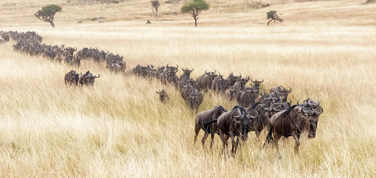
But I think that one of the greatest uses of wildlife tracking is to stop wildlife trafficking. While anti-poaching units work hard, animals can sometimes be difficult to find and too widely dispersed to effectively monitor. The best way to protect them from poaching and trafficking, then, is to know where they are and where they are likely to be in the near future.
And I’m on board for that.
Here’s to finding your true places and natural habitats,
Candy